Park once and walk the rest. This is 3 stops around the town centre in the order they actually fall, with coffee and lunch where they land on the route — about 1.6 miles on foot, ending back at the car.
- 3 stops on foot
- 1.6 miles of walking
- 45 min walking in total
- 25 min back to the car
- P Maritime Car Park
- 1 National Maritime Museum Cornwall
- 2 Fuel
- 3 Castle Beach
- 4 Pendennis Castle
- Leave the car here
Maritime Car Park
Off Avenue Rd.
- Start here
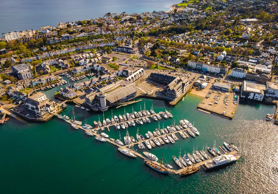
National Maritime Museum Cornwall
About 5 minutes' walk from the last stop.
The National Maritime Museum, Cornwall (Cornish: Gwithti Morek Kenedhlek Kernow) is located in a harbourside building at Falmouth in Cornwall, England.
- Coffee
Fuel
About 10 minutes' walk from the last stop.
On Arwenack St. 4.6 from 964 Google reviews
- Then
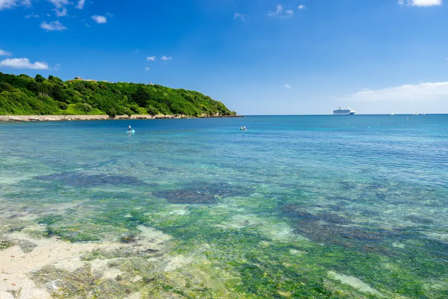
Castle Beach
About 10 minutes' walk from the last stop.
- Then
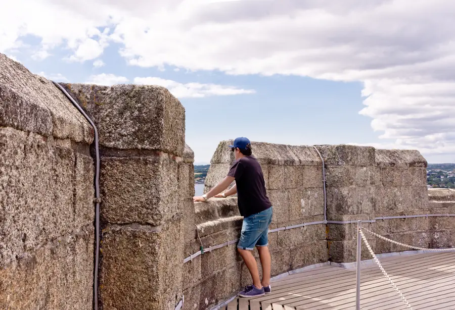
Pendennis Castle
About 15 minutes' walk from the last stop.
Pendennis Castle (Cornish: Kastel Penndinas) is an artillery fort constructed by Henry VIII near Falmouth, Cornwall, England between 1540 and 1542.
- Back to the car
About 25 minutes' walk back to Maritime Car Park.
Adapting the day
- If it rains
- Keep to the indoor stops: National Maritime Museum Cornwall, Castle Beach, Pendennis Castle.
- On the coast
- Coastal access depends on the tide and the season — check locally on the day.
Stops are ordered by what is near what, and walking times are approximate. Check opening times before you go. Ratings from Google Maps, August 2026.